|
Creating the first line in a 2-Point Perspective |
|
|---|---|
| Screenshot | |
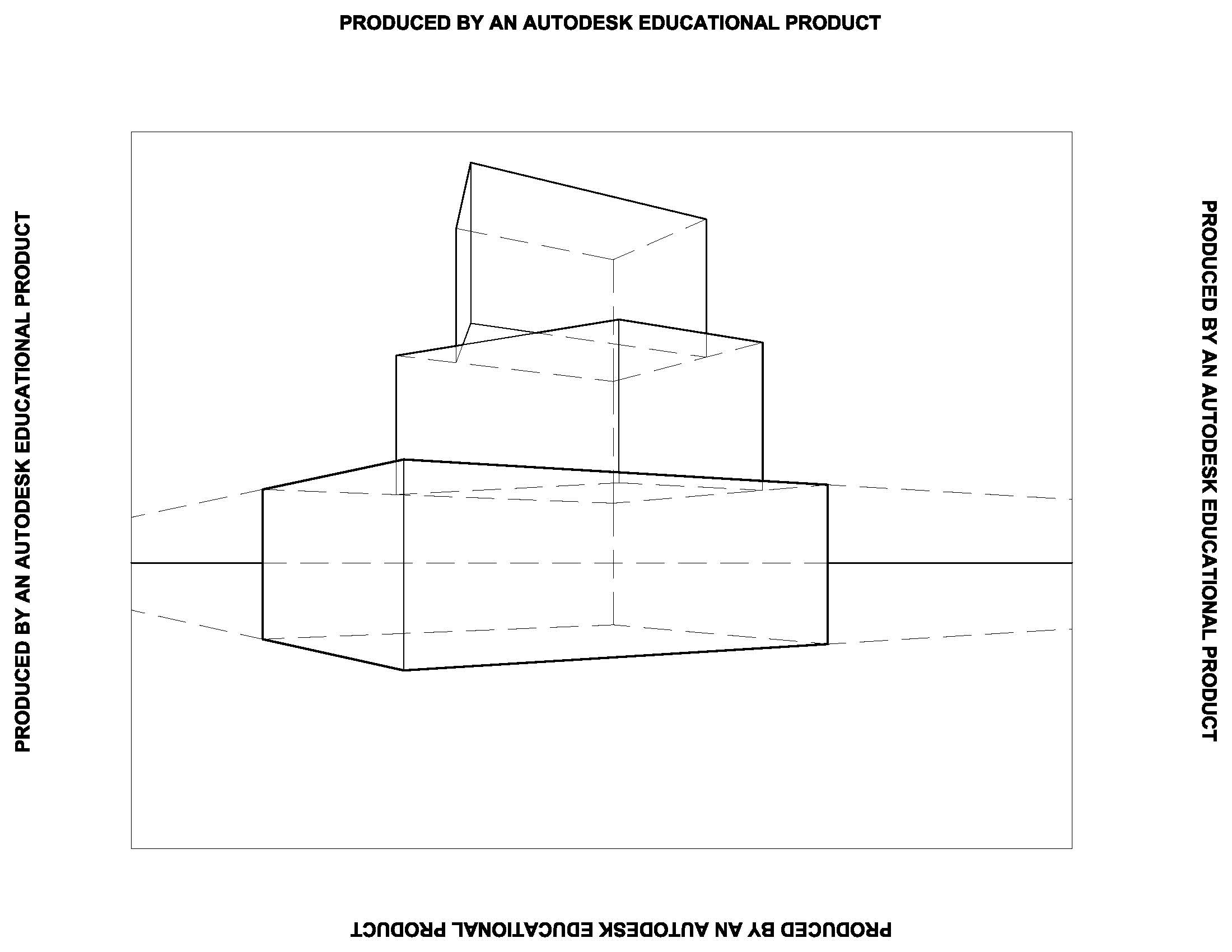
| Creating the first line in a 2-Point Perspective to use as a relative measure for height | |
| Uses Tool(s) | |
From the elevation drawing, extend two lines one from the ground plane and one from the element you want to use as the other end of the line that will be the relative height measure. This can be either the top of the mass (or building) or a known subdivision.
Then extend a line in the plan view which corresponds with the top of the surface you chose in elevation to the picture plane. From where this line intersects the picture plane, draw a line straight down so that it intersects with the two lines drawn from the elevation.
From the proper vanishing point (usually the closer one), draw lines that extend through these intersections and past them.

Then project a line from the Station Point down past through all lines drawn. For the first time, part of this line will appear in your finished drawing!
Where this line intersects the two lines drawn from the vanishing point, connect two more lines to the other vanishing point. The 4 lines drawn from the vanishing points so far define the upper and lower boundaries of the lowest part of the mass.

Lastely, this linework must be trimmed down and the lineweights must be changed.

